beacon_report, 1654/1910, 16 September 1910
beacon report, 16 September 1910
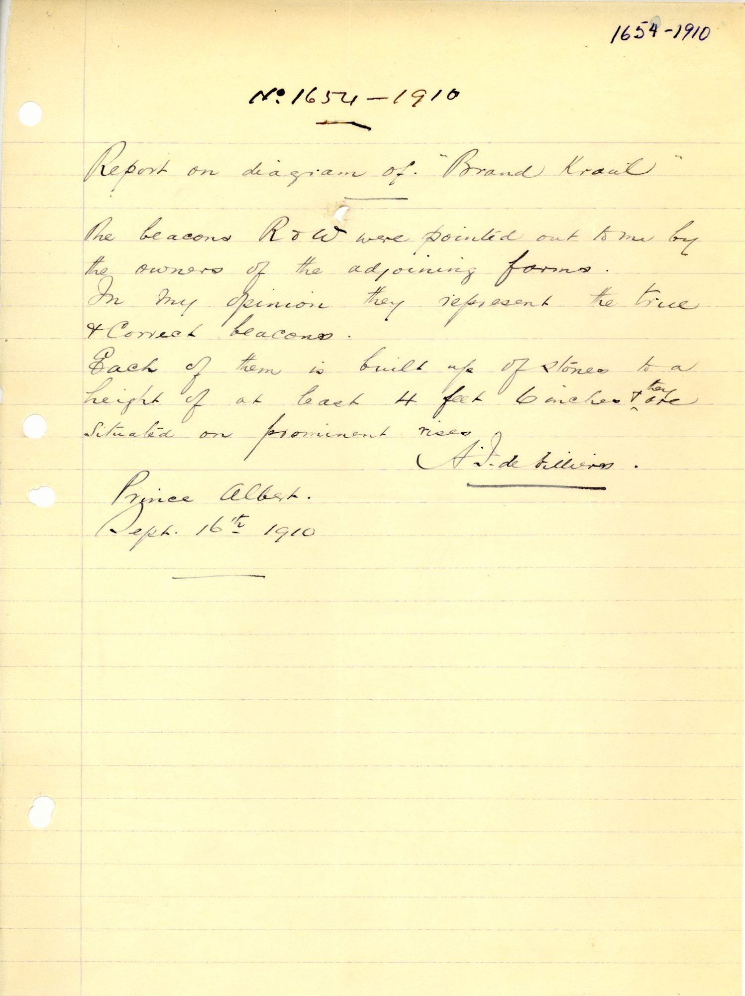
10676576 (1).PDF.The record
- Type
- beacon report
- Diagram number
- 1654/1910
- Surveyed
- 16 September 1910
- Surveyor
- A.J. de Villiers
- Archive filename
- 10676576 (1).PDF
Citation
- Title
- Beacon report on Brand Kraal
- Repository
- Surveyor-General
- Reference
- 1654/1910
- Type
- SG diagram
The ground it is about
Rondabel 124
Research notes
"The beacons R & W were pointed out to me by the owners of the adjoining farms... Each of them is built up of stones to a height of at least 4 feet. Cairns, they are situated on prominent rises."
[5 Aug 2026] doc_type corrected from SG_diagram to beacon_report, the same slip DOC-0047 carried. The row's own transcription is a beacon report and nothing else - 'the beacons R & W were pointed out to me by the owners of the adjoining farms'. A diagram and the beacon report drawn against it share a diagram number legitimately, so with the type right the pair is no longer two rows for one sheet.
The research behind this page, kept separate from it: dated working notes, open questions, and what is not yet settled.