Surveyor-General diagram, 339/1820 (manuscript original), 17 February 1820
Surveyor-General diagram, 17 February 1820
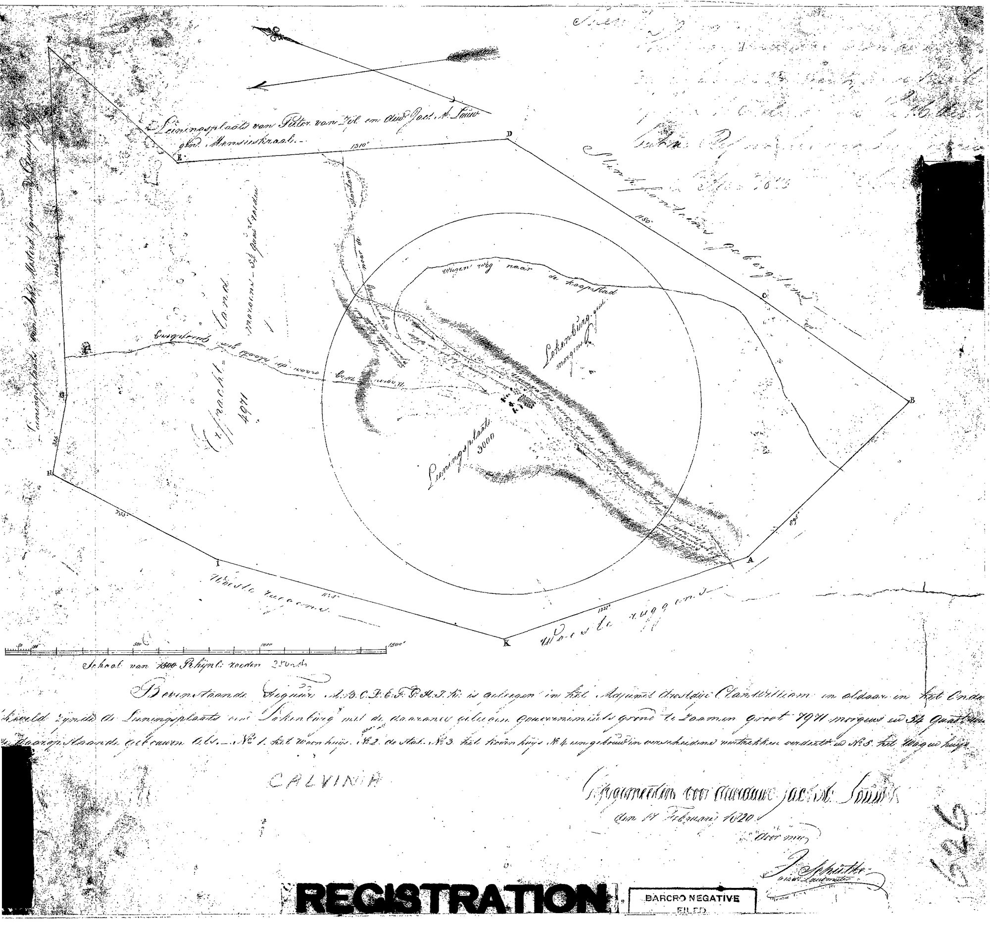
10205781 815 0.jpg.The record
- Type
- Surveyor-General diagram
- Diagram number
- 339/1820 (manuscript original)
- Surveyed
- 17 February 1820
- Titled
- 20 February 1832
- Deed
- Wor. Q. 5-66 dated 20.2.1832
- Surveyor
- Jn. Schutte
- Archive filename
- 10205781 815 0.jpg
Citation
- Title
- The 1820 manuscript diagram of the leeningsplaats LOKENBURG, which lists the buildings on the werf
- Repository
- Surveyor-General / national CSG. Stamped REGISTRATION, BARCRO NEGATIVE FILED. Supplied by
- Reference
- The handwritten original behind the typed copy No. 339/1820.
- Type
- SG diagram (manuscript original)
- Retrieved
- 2026-08-10
The ground it is about
Research notes
Filed 10 Aug 2026 from _inbox. One sheet, one row. Transcription on SRC-366.
The research behind this page, kept separate from it: dated working notes, open questions, and what is not yet settled.