survey_report, 2114-2118/1912 (sketch), 30 July 1912
survey report, 30 July 1912
10696183.pdf.The record
- Type
- survey report
- Diagram number
- 2114-2118/1912 (sketch)
- Surveyed
- 30 July 1912
- Archive filename
- 10696183.pdf
Citation
- Title
- 2114-2118/1912 (sketch), Klein Valie No. 182, Prince Albert
- Repository
- Surveyor-General, Cape Town (SGCTN)
- Reference
- 2114-2118/1912 (sketch)
- Type
- survey_report
- Retrieved
- 2026-08-05
The ground it is about
Research notes
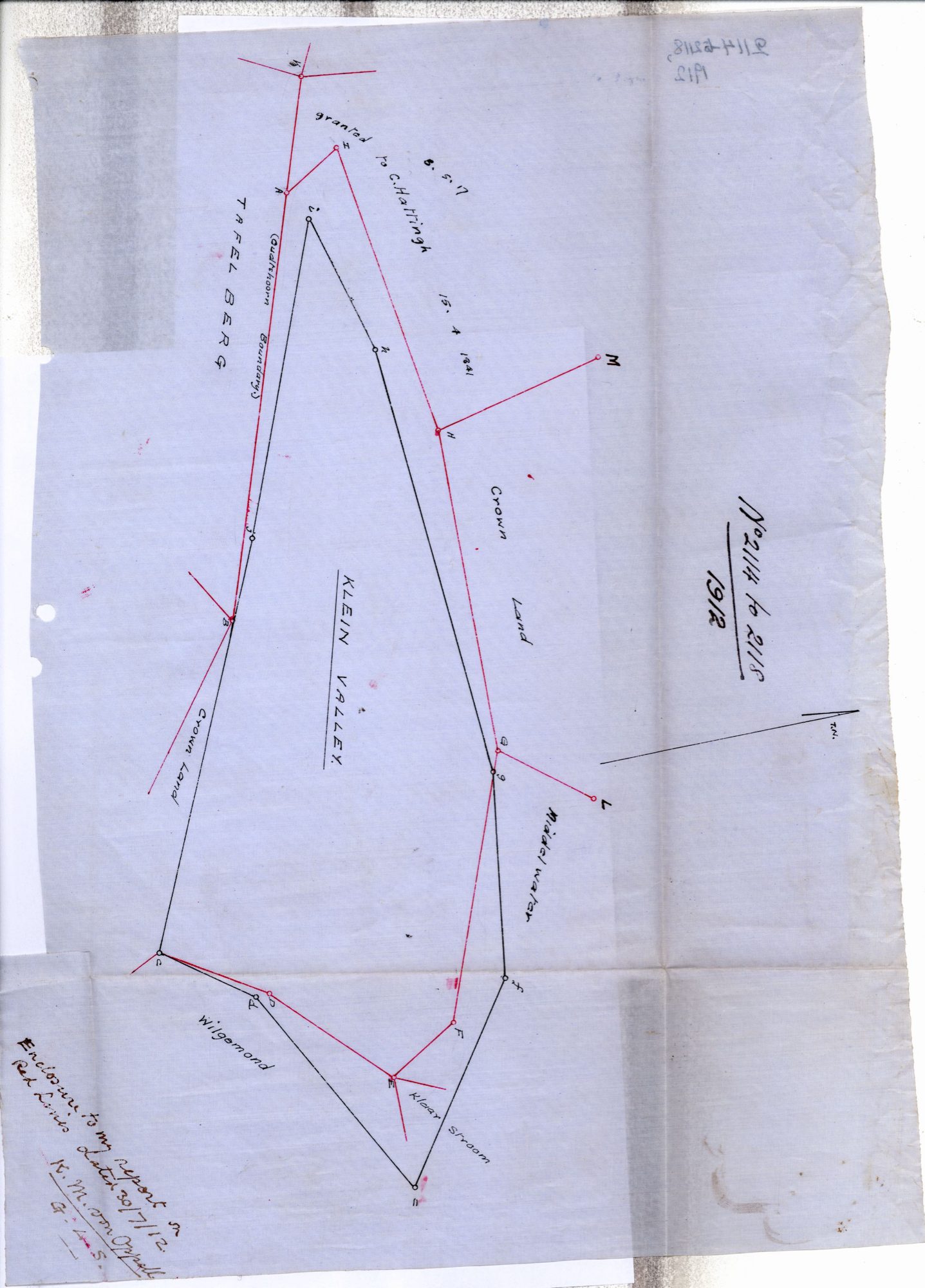
[5 Aug 2026 inbox] The tracing enclosed with von Oppell's report of 30 July 1912 - 'Enclosure to my report of even date. Red Lines.' It draws KLEIN VALLEY's old boundary in black against his new survey in red, with the neighbours lettered: TAFEL BERG, Crown Land, 'granted to C. HattingMh 15.4.1841', Middelwater, Klaarstroom, Wilgemond, and the Oudtshoorn boundary. Beacons A to M.
The research behind this page, kept separate from it: dated working notes, open questions, and what is not yet settled.