Surveyor-General diagram, 369/1833, August 1833
Surveyor-General diagram, August 1833
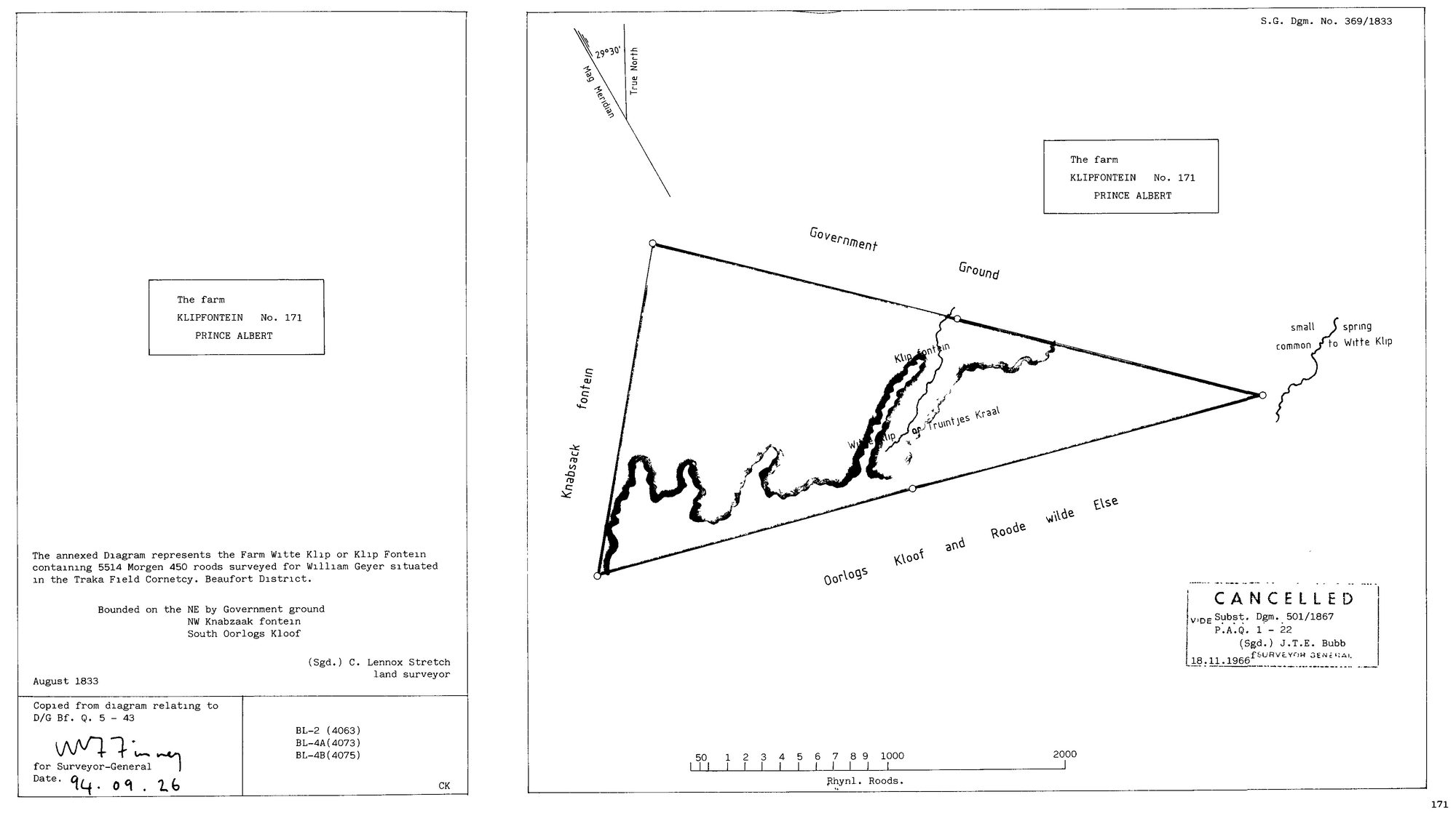
SCAN533.jpg.The record
- Type
- Surveyor-General diagram
- Diagram number
- 369/1833
- Surveyed
- August 1833
- Titled
- 15 April 1841
- Deed
- Bf.Q.5-43
- Surveyor
- C. Lennox Stretch
- Archive filename
- SCAN533.jpg
Citation
- Title
- Klipfontein No.171 (Witte Klip or Klip Fontein) original diagram (1833)
- Repository
- Surveyor-General
- Reference
- SG Dgm 369/1833
- Type
- SG diagram
- Retrieved
- 2026-07-31
The ground it is about
Klipfontein No. 171 (Witte Klip) 171
Research notes
"The annexed Diagram represents the Farm Witte Klip or Klip Fontein containing 5514 Morgen 450 roods surveyed for William GeyerM situated in the Traka Field Cornetcy. Beaufort District. Bounded on the NE by Government ground, NW Knabzaak fontein, South Oorlogs Kloof. (Sgd.) C. Lennox Stretch, land surveyor. August 1833." Copy-stamp: "Copied from diagram relating to D/G Bf. Q. 5 - 43", for Surveyor-General 26 Sep 1994; sheet refs BL-2 (4063), BL-4A (4073), BL-4B (4075). CANCELLATION STAMP: "CANCELLED, VIDE Subst. Dgm. 501/1867, P.A.Q. 1-22, (Sgd.) J.T.E. Bubb for Surveyor General, 18.11.1966". The substitute diagram 501/1867 and its title P.A.Q.1-22 sit immediately beside Rondabel's 502/1867 and P.A.Q.1-21 (DOC-0024) - the same 1867 resurvey and retitling batch. Drawn neighbours: Government Ground north-east, Knabsack fontein north-west, Oorlogs Kloof and Roode wilde Else south. [31 Jul 2026 inbox]
The research behind this page, kept separate from it: dated working notes, open questions, and what is not yet settled.