Surveyor-General diagram, 354/1833, August 1833
Surveyor-General diagram, August 1833
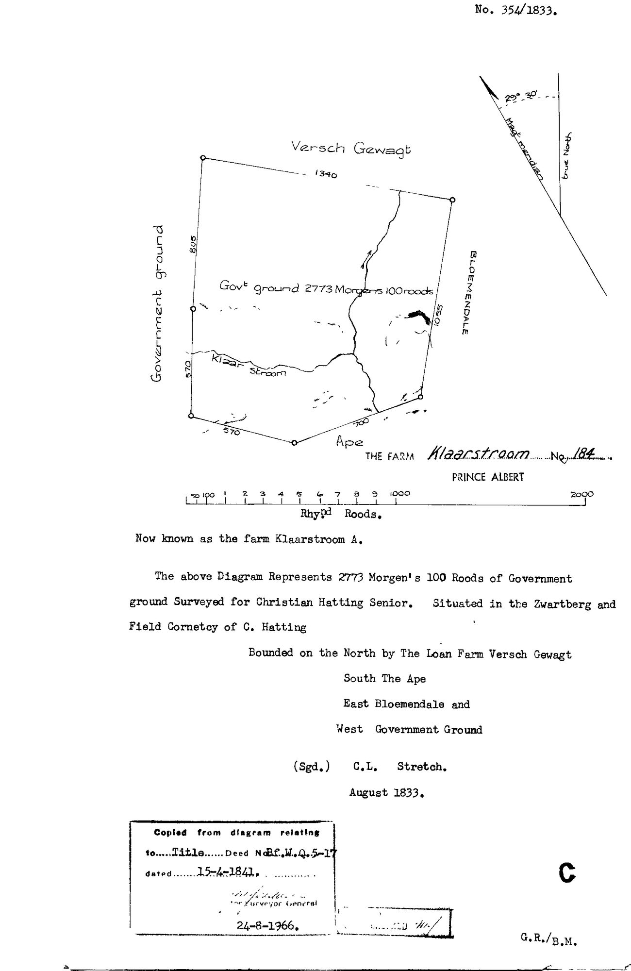
10TVW601 (1).TIF.The record
- Type
- Surveyor-General diagram
- Diagram number
- 354/1833
- Surveyed
- August 1833
- Titled
- 15 April 1841
- Deed
- Bf.W.Q.5-17
- Surveyor
- C.L. Stretch
- Archive filename
- 10TVW601 (1).TIF
Citation
- Title
- Klaarstroom No.184 original diagram (1833)
- Repository
- Surveyor-General
- Reference
- SG Dgm 354/1833
- Type
- SG diagram
The ground it is about
Klaarstroom No. 184 (Klaarstroom A) 184
Research notes
"2773 Morgen 100 Roods of Government ground Surveyed for CHRISTIAN HATTING SENIOR. Situated in the Zwartberg and Field Cornetcy of C. HattingM." Bounded N by the Loan Farm Versch Gewagt, S The Ape, E Bloemendale, W Government Ground. Now known as the farm Klaarstroom A.
The research behind this page, kept separate from it: dated working notes, open questions, and what is not yet settled.