Surveyor-General diagram, 1872-23-208, 1919
Surveyor-General diagram, 1919
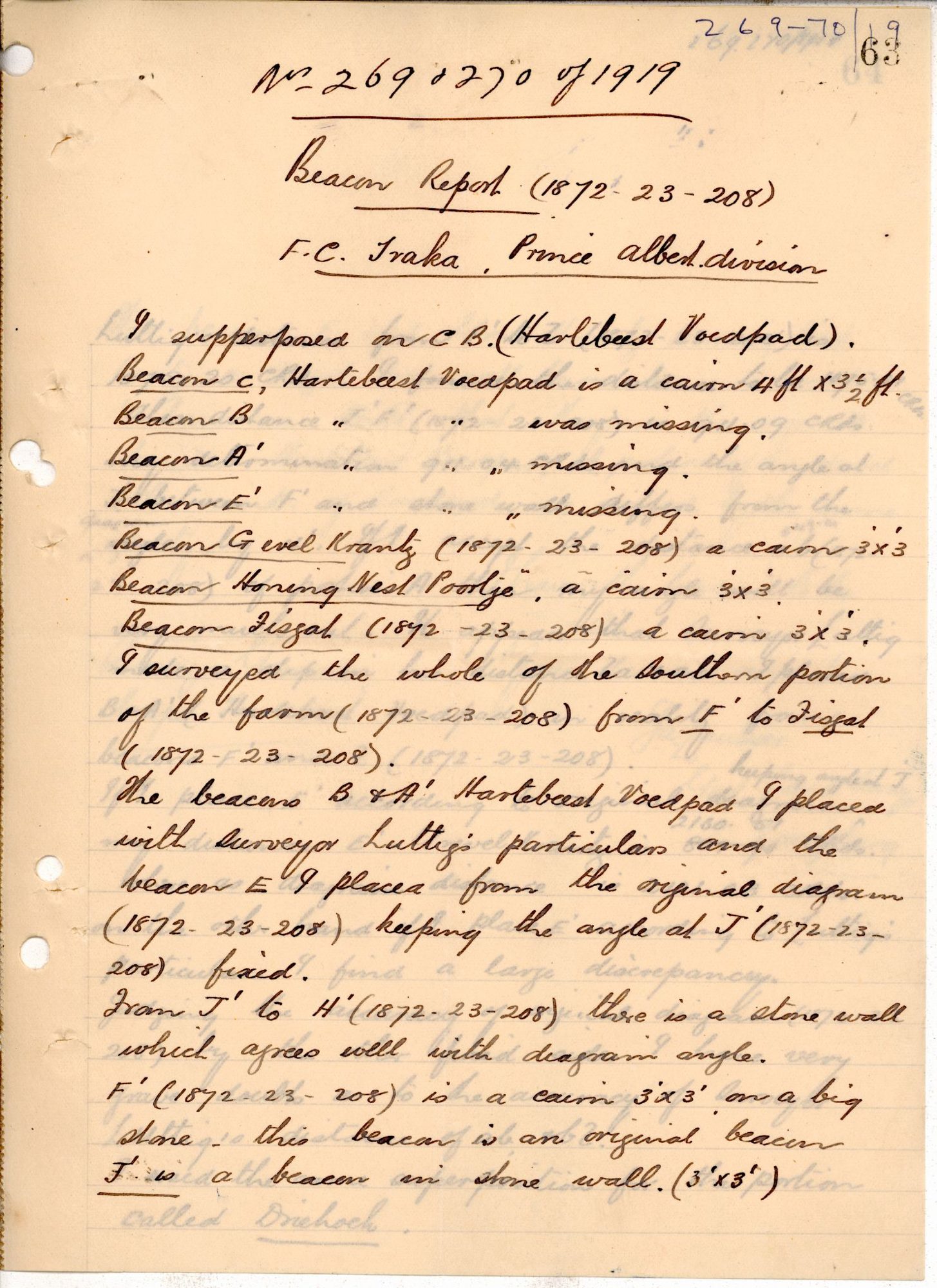
10747351-3 (1).PDF.The record
- Type
- Surveyor-General diagram
- Diagram number
- 1872-23-208
- Surveyed
- 1919
- Surveyor
- J.A. Loubser
- Archive filename
- 10747351-3 (1).PDF
Citation
- Title
- Beacon report on Hartebeest Voedpad (3 pages)
- Repository
- Surveyor-General
- Reference
- 1872-23-208
- Type
- SG diagram
The ground it is about
Rondabel 124
Research notes
Three-page beacon report, F.C. Traka. Beacon C a cairn 4ft x 3.5ft; beacons B, A and E MISSING; Gravel Krantz, Honing Nest Poortje and Ziggat cairns 3x3. A stone wall runs from J to H and agrees with the diagram angle. Loubser re-measures Surveyor Luttig's distances and reports "very grave doubt as to the accuracy of Surveyor Luttig's distance". Concludes the well-known beacons are original, and notes Hartebeest Voedpad, the portion and the Remainder of Rondabel are owned by the same party.
The research behind this page, kept separate from it: dated working notes, open questions, and what is not yet settled.