Surveyor-General diagram, 366/1833, August 1833
Surveyor-General diagram, August 1833
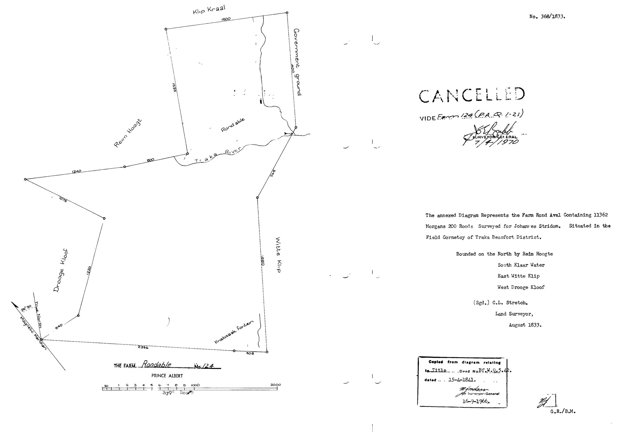
SCAN329.TIF.The record
- Type
- Surveyor-General diagram
- Diagram number
- 366/1833
- Surveyed
- August 1833
- Titled
- 15 April 1841
- Deed
- Bf.W.Q.5-2?
- Surveyor
- C.L. Stretch
- Archive filename
- SCAN329.TIF
Citation
- Title
- Rondabel No.124 original grant diagram (1833)
- Repository
- Surveyor-General
- Reference
- SG Dgm 366/1833
- Type
- SG diagram
The ground it is about
Rondabel 124
Research notes
11352 morgen 200 roods, surveyed for Johannes StrydomL, Field Cornetcy of Traka, Beaufort District. Bounded N Rem Hoogte, S Witte Water, E Witte Klip, W Droege Kloof. CANCELLED 7-4-1970 vide Farm 124 (P.A.Q.1-21).
The research behind this page, kept separate from it: dated working notes, open questions, and what is not yet settled.