Surveyor-General diagram, 1035/1871 (pt 1), November 1863
Surveyor-General diagram, November 1863
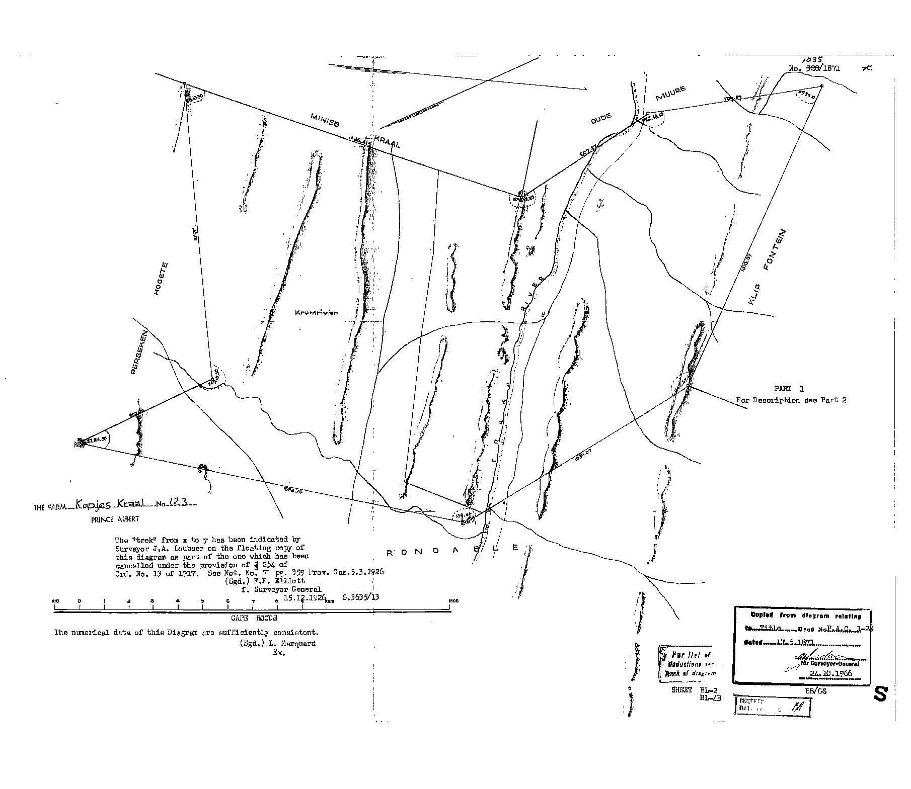
10513279.TIF.The record
- Type
- Surveyor-General diagram
- Diagram number
- 1035/1871 (pt 1)
- Surveyed
- November 1863
- Titled
- 17 May 1871
- Deed
- P.A.Q.1-28
- Surveyor
- L. Marquard
- Examiner
- L. Marquard
- Archive filename
- 10513279.TIF
Citation
- Title
- Kopjes Kraal No.123 diagram, part 1 (1863 survey)
- Repository
- Surveyor-General / Deeds e-portal
- Reference
- SG Dgm 1035/1871 pt1
- Type
- SG diagram
The ground it is about
Kopjes Kraal 123
Research notes
Shows the Kromrivier and the Traka River through the farm. Earlier number 928/1871 struck out. Sheet BL-2/BL-4B. Carries F.F. Elliott's note of 15.12.1926 that the "trek" from x to y, indicated by Surveyor J.A. Loubser, was cancelled under s254 of Ord. 13 of 1917 (Prov. Gaz. 5.3.1926, Not. 71 p.359).
The research behind this page, kept separate from it: dated working notes, open questions, and what is not yet settled.