Surveyor-General diagram, 3762/1898 (pt 2), April 1894
Surveyor-General diagram, April 1894
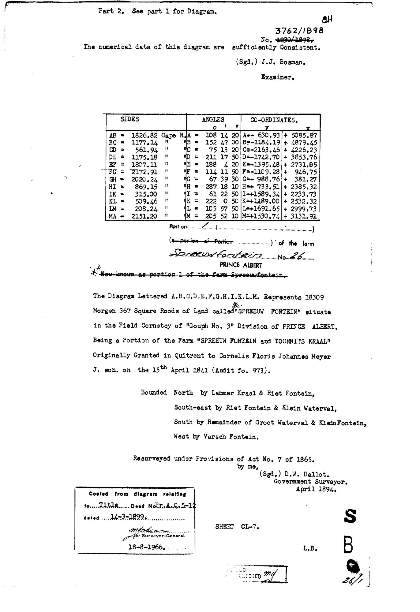
10FL3U01.TIF.The record
- Type
- Surveyor-General diagram
- Diagram number
- 3762/1898 (pt 2)
- Surveyed
- April 1894
- Titled
- 14 March 1899
- Deed
- P.T.A.Q.5-12
- Surveyor
- D.W. Ballot
- Examiner
- J.J. Bosman
- Archive filename
- 10FL3U01.TIF
Citation
- Title
- Spreeuwfontein Portion 1 diagram, part 2 (description)
- Repository
- Surveyor-General / Deeds e-portal
- Reference
- SG Dgm 3762/1898 pt2
- Type
- SG diagram
The ground it is about
Vredendal (Spreeufontein No. 26 Ptn 1) 1/26
Research notes
18309 morgen 367 sq roods. "Being a Portion of the Farm SPREEUW FONTEIN and TOORNITS KRAAL, originally granted in quitrent to Cornelis Floris Johannes MeyerM J. son on the 15th April 1841 (Audit fo. 973)". Resurveyed under Act 7 of 1865.
The research behind this page, kept separate from it: dated working notes, open questions, and what is not yet settled.